All it's missing is OS map section, but it's brilliant, you can also upload all routes from Garmin GPS too, so it can be a replacement for Garmin Connect too.
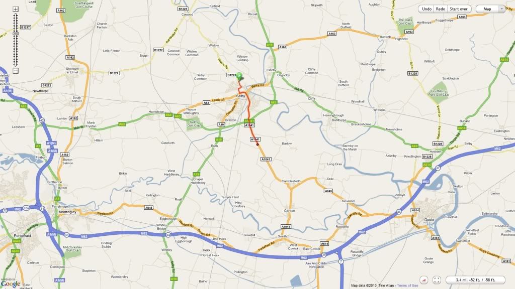
Here is a route I plotted, see, can view routes again now aswell!
http://ridewithgps.com/users/5867/routes
http://ridewithgps.com/routes/33180
The guy who runs the site said that he believe the elevation data on this is the most accurate of all sites which is good!
It's a brilliant site though and it's my new choice for planning routes and uploading routes, so much better.
Also as in this picture, this is my whole screen, all for the map which is great, I took the elevation profile off for even more space, brilliant.
It's even added all my ride history from my garmin into routes, so any routes I do with clubs that I've not got, I can download em and edit em and wack em on my GPS.
Thanks
Will.


